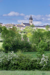
Cadoulette

Difficulty: Easy
Distance: 4.6
km
Positive Elevation: 57 m
Time: 1h15
From La Salvetat, follow the D905A towards Villefranche. After about 5km turn left on the D71 just before the village of Pradials, direction Lescure-Jaoul. After 2.5km, park, before reaching Cadoulette, at the road on the left to Bourlac.
Go down the road on the right to La Plujale (800m there and back), then come back to the start, cross over the road and go on to Bourlac. At the entry to the hamlet, go right towards Cadoulette then right again to Luteyères. Go through the village to the D71 and turn left to Cadoulette. Have a look round the village then take the D71 again, this time towards Pradials. Almost immediately, turn right before Le Redondet and follow this road to Bourlac, then turn left to get back to the starting place.
.
The topoguides are sold at the tourist information center with all the waypoints and cultural information about the points of interests.
Get all our tracks on your smartphone with the Cirkwi APP, or with an app of your choice as GPX viewer.
- Download the
GPX file
GPX URL : https://www.tourisme-aveyron-segala.fr/wp-content/uploads/Cirkwi-Cadoulette-3.gpx


